Panorama Trail Baden-Baden. Germany’s most beautiful hiking trail
The Panorama Trail leads you over 4 stages around Baden-Baden.
Pure hiking pleasure
- LENGTH 43.9 km
- ASCENT 2,160 m
- DESCENT 2,160 m
- DIFFICULTY: medium
HIKER GUIDE here
THE PANORAMA TRAIL BADEN-BADEN IN FOUR BEAUTIFUL STAGES
Very nice are the 4 stages described at “Wildganz”. Here you get a route profile and a hiking map:
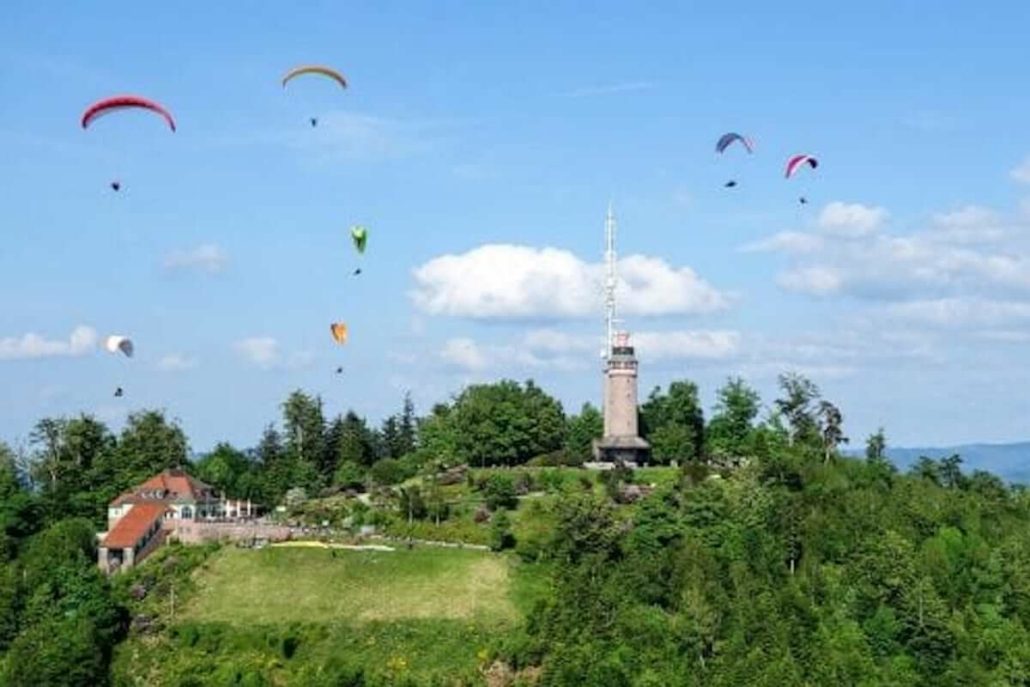
The first stage takes you from the Kurhaus via the Old Castle to the Merkurtal station. Why not seize the opportunity and take the longest funicular to the summit. From there you can enjoy a breathtaking view and watch paragliders take off. The restaurant offers a beautiful terrace with good food. What an enjoyable end to the day!
Short stages
The stages are too long for today? No problem! You get beautiful views even so…
New castle – Hungerberg – Sophienruhe – Ritterplatte
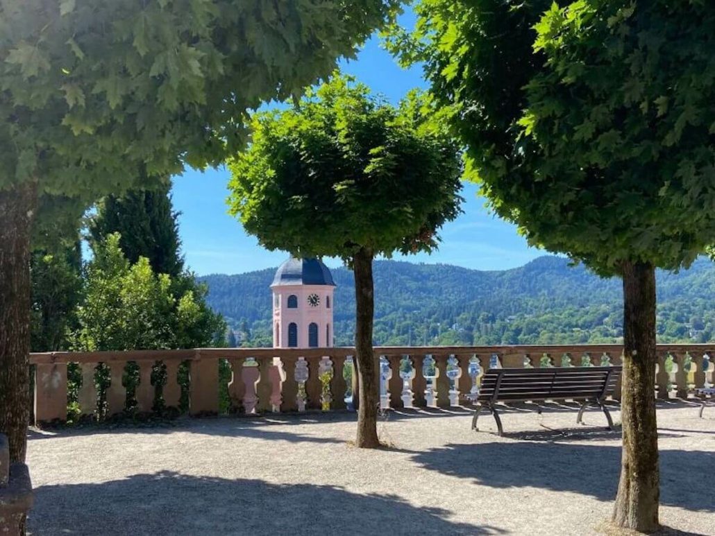
If you walk through the old town up to the New Castle, you will pass really picturesque corners. Once you reach the top, you can first enjoy the large panorama terrace. Now you have reached the first highlight of the Panorama Trail and at the same time one of the most popular photo motifs.
Towards the east, you already look deep into the Black Forest. In the southwest, you look far into the Rhine plain and can often see the Vosges Mountains.
The Hungerberg is not far away now. Keep heading north, pass the castle and turn right into Schloßstraße. Soon you will see the Hungerberg on your left. A very large meadow area on the slope with fruit trees and many benches.
It will take you about 20 minutes to get here from the old town and you have already gained a first impression that the great views absolutely live up to the name Panoramaweg Baden-Baden.
HUNGERBERG
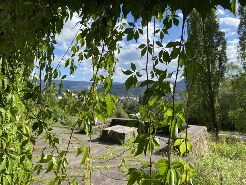
How many times have you stopped to enjoy the good view? If you take the path to the left before the Waldschänke, you will reach this pergola covered with vines.
It is a relic of the great state horticultural show in the 1980s. At that time, a visual connection was created from Hungerberg through the city up to the Rose Novelty Garden at Beutig.
Even if you don’t like to leave your beautiful place here, the way towards Sophienruhe is worthwhile. It is best to walk back to the Waldschenke, pass above through the metal gate and keep going in the direction of “Altes Schloss”. After about 15 minutes on a beautiful forest path, you will see the turnoff to Sophienruhe on the left. By the way, a wonderful place for a picnic…
SOPHIENRUHE
The Sophienruhe was built in memory of the conflicts with the French in 1870/71. How nice that today we can look so peacefully into Alsace and make the next plans for eating tarte flambée. Nowadays, you can sit under the roof of the open pavilion and make yourself comfortable on the wide bench.
On a very clear day, you can see Strasbourg Cathedral in the far southwest. Can you recognize it?
Are you rested now? Then you can consider climbing up to the Battert rock massif at the Old Castle. However, there is no bus line up here. The way back is therefore again on foot. You will need about 40 minutes for the ascent.
KNIGHT PLATE
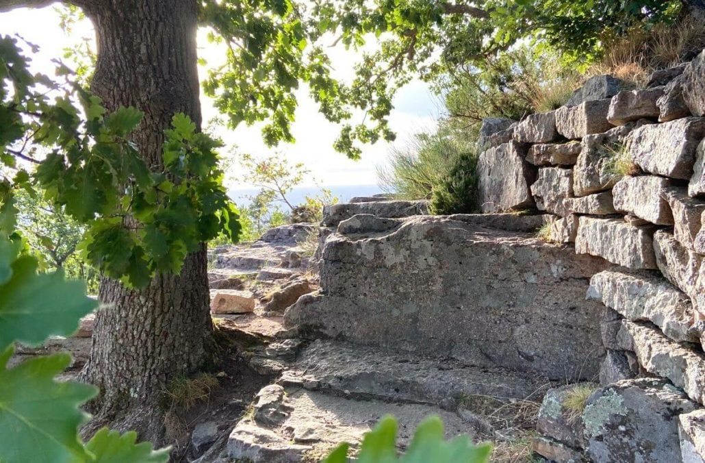
A little above the Old Castle lies the Knights’ Plate with the remains of a Celtic ring wall. Therefore you should be surefooted, it goes a little over stick and stone.
But have we promised you too much? The view is magnificent!
You might as well drive up to the Old Castle and take some time to see the impressive ruins. In the open courtyard, you’ll actually be standing in the 11th-century Knights’ Hall. Can you hear the slightly spooky sounds? That’s the great wind harp in the castle window. A much admired masterpiece.
By the way, the Fidelitas restaurant is a great place to dine either in the secluded courtyard or in the tastefully decorated restaurant with a view of the Rhine plain. If you are just looking for a little refreshment, you will enjoy the snack bar in front of the castle. In summer, beer tables and chairs are set up here under the large chestnut trees.


 Nathalie Dautel